Skip to content

+65 6703 6930 | [email protected]

GeoInstinct LogoGeoInstinct LogoGeoInstinct Logo
  • Company
    • About
    • Meet the Team
    • Our Equipment
    • Our Software
    • Our Partners
  • Services
    • Assets
      • Asset Tagging
    • Geodetic
      • Control Networks
      • Construction Survey & Setting Out
      • Construction Verification
      • Floor Flatness Surveys
      • Measured Building Surveys
      • Topographical Surveys
      • Stockpile & Volume Surveys
    • Geophysical
      • Gravity Surveys
      • Magnetic Surveys
      • Soil Resistivity Testing
    • Geotechnical
    • Hydrographic
    • Inspection
      • Concrete & Rebar Scanning
      • Wind Turbine Inspection
    • Mapping
      • Airborne Survey
      • Mobile Mapping
      • Underground Utility Mapping
    • Metrology
      • Alignment & Levelling Services
      • Deformation & Surface Analysis
      • Laser Tracker Measurements
      • Measurement Arm Services
      • Reverse Engineering Services
    • Monitoring
      • Environmental Monitoring
      • Geotechnical Monitoring
      • Structural Monitoring
    • Reality Capture
      • BWTS Scanning
      • Laser Scanning
      • Scan-to-BIM
      • Scan-to-EAM
      • Scan-to-Plan
    • Specialist
      • Gyroscopic Surveys
      • Rail Surveys
    • Utilities
      • CCTV Drainage Surveys
      • Ground Penetrating Radar Surveys
      • Line and Level Surveys
      • Manhole Surveys
  • Consultancy
    Digital Consultancy
    • Digital Surveying and Reality Capture
    • Digital Twins
    • Geospatial Information Management
    • Industry 4.0
    • Smart Asset Management
    • Smart Cities
    • Smart Enterprise Management
    • Smart Facilities Management
    Strategic Consultancy
    • BIM Education and Training
    • BIM Strategy, Performance, Protocols and Procedures
    • Compliance and Assurance
    • Construction Forensics
    • Industrial Cyber Security
    • Management Consulting
    • Organisational Digital Transformation
    • Whole Lifecycle Project Management
    Virtual Design & Construction
    • Artificial Intelligence and Machine Learning
    • As-Built Construction Verification
    • Augmented Worker
    • Automated BIM Verification and Validation
    • Design for Off-Site Manufacture and Assembly
    • Enterprise Management Dashboards
    • Integrated Project Information Management
    • Predictive Scenario Modelling
    • Virtual, Augmented and Mixed Reality
    • Digital Consultancy
      • Digital Surveying and Reality Capture
      • Digital Twins
      • Geospatial Information Management
      • Industry 4.0
      • Smart Asset Management
      • Smart Cities
      • Smart Enterprise Management
      • Smart Facilities Management
    • Engineering Consultancy
    • Strategic Consultancy
      • BIM Education and Training
      • BIM Strategy, Performance, Protocols and Procedures
      • Compliance and Assurance
      • Construction Forensics
      • Industrial Cyber Security
      • Management Consulting
      • Organisational Digital Transformation
      • Whole Lifecycle Project Management
    • Virtual Design and Construction
      • Artificial Intelligence and Machine Learning
      • As-Built Construction Verification
      • Augmented Worker
      • Automated BIM Verification and Validation
      • Design for Off-Site Manufacture and Assembly
      • Enterprise Management Dashboards
      • Integrated Project Information Management
      • Predictive Scenario Modelling
      • Virtual, Augmented and Mixed Reality
  • News
Home » コンサルティング » デジタルコンサルタント » デジタル測量とリアリティキャプチャ

デジタル測量とリアリティキャプチャ

Digital Surveying & Reality Captureは、3Dレーザースキャン、ハイテク測量法、デジタルデザイン、BIM、VDCをつなぐ架け橋となります。

デジタル測量とリアリティキャプチャWebmaster2023-05-07T18:26:57+07:00
  • Technology
  • Approach
  • Core Services
  • Specialist Services

技術情報

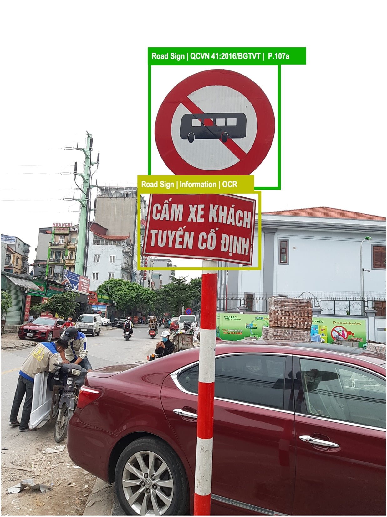
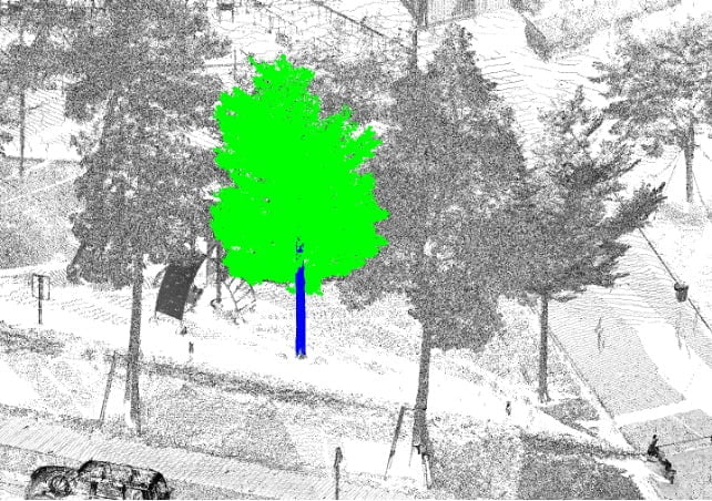
ジオインスティンクトは、研究開発に多額の投資を行い、資産開発者、所有者、投資家向けに、建設時や設置時のデジタルキャプチャソリューション、ライブサイトモニタリング、資産リスクマネジメントソリューションなどを開発しています。

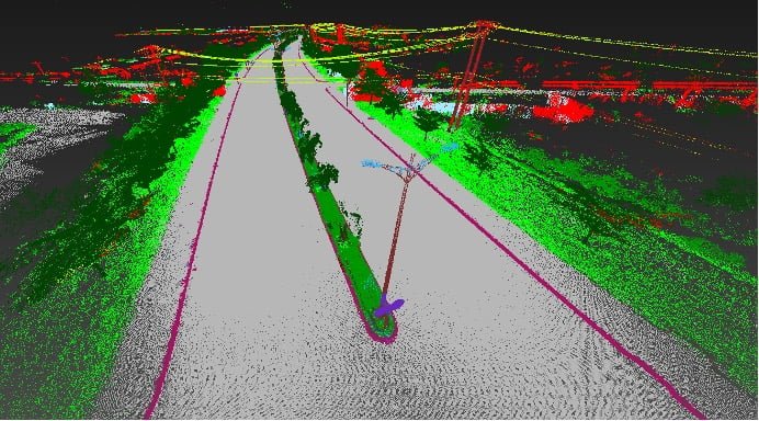
効果的なデジタル資産管理は、既存の資産を包括的かつコスト効率よくデジタル形式で把握することができることから始まります。 私たちのソリューションは、大規模な都市モデルから小さな工業部品まで、風景を仮想的にマッピングすることを可能にします。
アプローチ

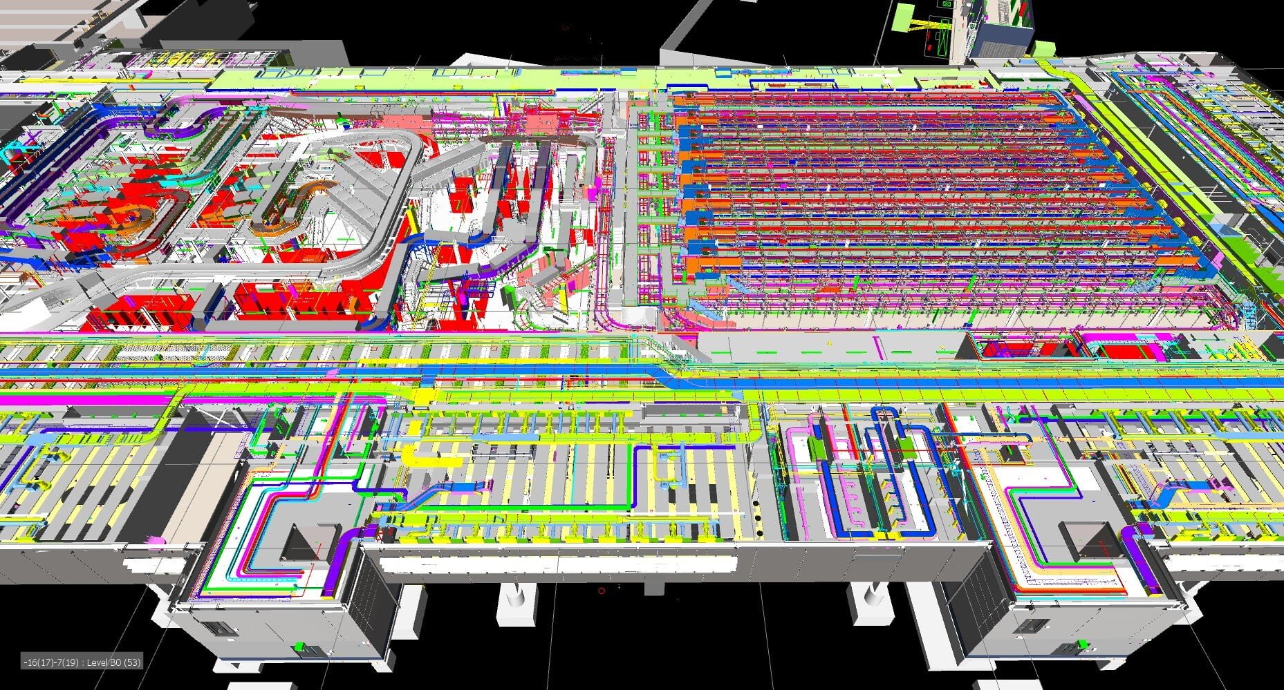
デジタル測量とデータキャプチャは、実績のあるデジタル技術を効率的に組み合わせることで、完全な可視性とデータを提供し、ライブアズビルドのプログレッシブBIMモデル(Retrospective BIM)を作成するために調整されたソリューションを提供します。

これにより、アセットオーナーや投資家は、保有する資産とそのパフォーマンスを瞬時に正確に把握することができます。

また、CAFM(Computer Aided Facility Management)ソリューションは、お客様のライフサイクルにおけるメリットを創出し、資産本来の能力を最大限に引き出すだけでなく、「インテリジェントクライアント」としての地位も確立します。

コアサービス

GeoInstinctは、以下のデジタル測量とデータキャプチャーのコアサービスをお客様に提供します:

  • ドローンによる調査
  • スキャンからBIM調査まで
  • フォトグラメトリー
  • 衛星画像
  • ソナー・スキャニング
  • 地中レーダー

スペシャリスト・サービス

また、世界中のお客様に専門的なソリューションをお届けしています:

  • 適応型ソフトウェア統合とデータマイニング
  • データフォーマット
  • 3Dプレゼンテーションとフライスルー
  • バーチャル、オーグメンテッド、ミックスド・リアリティ
  • 建設工事のライブデジタル監視をBIMに
  • デジタル測量とアセットキャプチャからBIMへ
  • ライブシチュエーションのプログレッシブモデリング
  • ライブシチュエーションの予測モデリング
  • レトロスペクティブBIMソリューション
  • モデルベースデータベース
  • 変形調査

Contact Us

Call Us

+84 (0) 28 710 99 369

Email Us

[email protected]

Client Hub

  • GeoInstinct Access
  • GeoInstinct Assist
  • GeoInstinct Books
  • GeoInstinct Cloud
  • GeoInstinct Cyclone
  • GeoInstinct Projects
  • GeoInstinct Status
  • GeoInstinct Support

About Us

  • About
  • Our Equipment
  • Our Software
  • Our Partners
  • Events
  • News
  • Meet the Team
  • Careers

Legal

  • Privacy Policy
  • Terms & Conditions
  • Service Commitment

Vietnam

GeoInstinct Vietnam Co. Ltd.

MST: 0314818251

11A Dong Da, Ward 2, Tan Binh District, Ho Chi Minh City, Vietnam, 700000

Singapore

GeoInstinct Pte. Ltd.

UDN: 202328899R

68 Circular Road, #02-01, Singapore, 049422

Copyright © 2023, GeoInstinct Pty Ltd. All Rights Reserved.

Toggle Sliding Bar Area
Page load link
Go to Top