Skip to content

+65 6703 6930 | [email protected]

GeoInstinct LogoGeoInstinct LogoGeoInstinct Logo
  • Company
    • About
    • Meet the Team
    • Our Equipment
    • Our Software
    • Our Partners
  • Services
    • Assets
      • Asset Tagging
    • Geodetic
      • Control Networks
      • Construction Survey & Setting Out
      • Construction Verification
      • Floor Flatness Surveys
      • Measured Building Surveys
      • Topographical Surveys
      • Stockpile & Volume Surveys
    • Geophysical
      • Gravity Surveys
      • Magnetic Surveys
      • Soil Resistivity Testing
    • Geotechnical
    • Hydrographic
    • Inspection
      • Concrete & Rebar Scanning
      • Wind Turbine Inspection
    • Mapping
      • Airborne Survey
      • Mobile Mapping
      • Underground Utility Mapping
    • Metrology
      • Alignment & Levelling Services
      • Deformation & Surface Analysis
      • Laser Tracker Measurements
      • Measurement Arm Services
      • Reverse Engineering Services
    • Monitoring
      • Environmental Monitoring
      • Geotechnical Monitoring
      • Structural Monitoring
    • Reality Capture
      • BWTS Scanning
      • Laser Scanning
      • Scan-to-BIM
      • Scan-to-EAM
      • Scan-to-Plan
    • Specialist
      • Gyroscopic Surveys
      • Rail Surveys
    • Utilities
      • CCTV Drainage Surveys
      • Ground Penetrating Radar Surveys
      • Line and Level Surveys
      • Manhole Surveys
  • Consultancy
    Digital Consultancy
    • Digital Surveying and Reality Capture
    • Digital Twins
    • Geospatial Information Management
    • Industry 4.0
    • Smart Asset Management
    • Smart Cities
    • Smart Enterprise Management
    • Smart Facilities Management
    Strategic Consultancy
    • BIM Education and Training
    • BIM Strategy, Performance, Protocols and Procedures
    • Compliance and Assurance
    • Construction Forensics
    • Industrial Cyber Security
    • Management Consulting
    • Organisational Digital Transformation
    • Whole Lifecycle Project Management
    Virtual Design & Construction
    • Artificial Intelligence and Machine Learning
    • As-Built Construction Verification
    • Augmented Worker
    • Automated BIM Verification and Validation
    • Design for Off-Site Manufacture and Assembly
    • Enterprise Management Dashboards
    • Integrated Project Information Management
    • Predictive Scenario Modelling
    • Virtual, Augmented and Mixed Reality
    • Digital Consultancy
      • Digital Surveying and Reality Capture
      • Digital Twins
      • Geospatial Information Management
      • Industry 4.0
      • Smart Asset Management
      • Smart Cities
      • Smart Enterprise Management
      • Smart Facilities Management
    • Engineering Consultancy
    • Strategic Consultancy
      • BIM Education and Training
      • BIM Strategy, Performance, Protocols and Procedures
      • Compliance and Assurance
      • Construction Forensics
      • Industrial Cyber Security
      • Management Consulting
      • Organisational Digital Transformation
      • Whole Lifecycle Project Management
    • Virtual Design and Construction
      • Artificial Intelligence and Machine Learning
      • As-Built Construction Verification
      • Augmented Worker
      • Automated BIM Verification and Validation
      • Design for Off-Site Manufacture and Assembly
      • Enterprise Management Dashboards
      • Integrated Project Information Management
      • Predictive Scenario Modelling
      • Virtual, Augmented and Mixed Reality
  • News
Home » 咨询 » 战略咨询 » 建筑法医学

建筑法医学

GeoInstinct支持客户进行法证进度分析,同时采用4D BIM调度、项目管理平台和其他数据源等新技术,以确定延误原因,减轻风险并降低成本。

建筑法医学Webmaster2023-05-07T18:26:56+07:00
  • Technology
  • Solution
  • Benefits

技术

延误和干扰是建筑项目中经常发生的事情。 法证进度分析和项目延迟程度的评估的挑战随着项目的复杂程度而增加。

技术的进步使得传统的延误分析方法发生了转变,如:孤立的方案审查,转向由BIM提供的综合方法支持的延误和中断分析。

BIM在争议过程中是非常有价值的,因为它可以回顾性地验证已完成的工作范围是否符合合同要求,从而节省大量的资金。 虽然如此,但使用BIM的人勤于维护模型,使其代表项目进展的最新信息,这一点更加重要。
解决方案

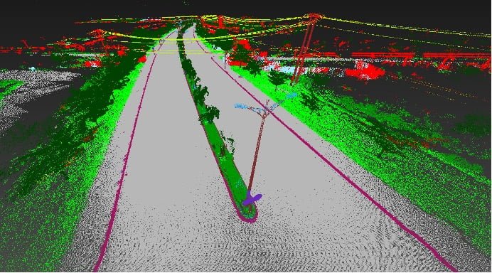
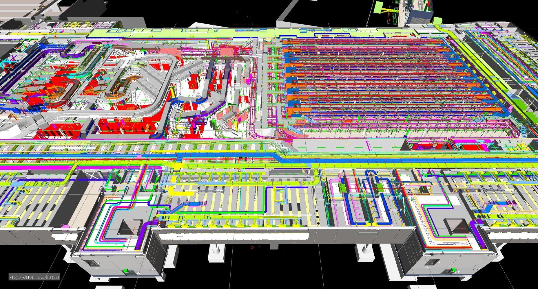
BIM模型越来越复杂,包含了以前认为不可能的数据。 这不仅是规划和施工阶段防止延误和中断的一个极其重要的促进因素,也是在法证进度分析期间对事件的回顾性理解。

BIM模型现在可以将第四维时间与三维设计模型联系起来,4D模拟在建筑取证中的应用是一个很好的工具,可以将延迟事件及其对项目进度和施工过程的影响可视化呈现出来。

我们的专家能够从4D设计模型中产生的大量数据中找到相关的事实,以支持对索赔、因果关系和由此产生的损害的调查结果。

效益

我们的建筑取证方法提供了许多好处,包括:

  • 更加精确和深入的数据
  • 突出强调不一致的地方
  • 视觉化工具

Contact Us

Call Us

+84 (0) 28 710 99 369

Email Us

[email protected]

Client Hub

  • GeoInstinct Access
  • GeoInstinct Assist
  • GeoInstinct Books
  • GeoInstinct Cloud
  • GeoInstinct Cyclone
  • GeoInstinct Projects
  • GeoInstinct Status
  • GeoInstinct Support

About Us

  • About
  • Our Equipment
  • Our Software
  • Our Partners
  • Events
  • News
  • Meet the Team
  • Careers

Legal

  • Privacy Policy
  • Terms & Conditions
  • Service Commitment

Vietnam

GeoInstinct Vietnam Co. Ltd.

MST: 0314818251

11A Dong Da, Ward 2, Tan Binh District, Ho Chi Minh City, Vietnam, 700000

Singapore

GeoInstinct Pte. Ltd.

UDN: 202328899R

68 Circular Road, #02-01, Singapore, 049422

Copyright © 2023, GeoInstinct Pty Ltd. All Rights Reserved.

Toggle Sliding Bar Area
Page load link
Go to Top