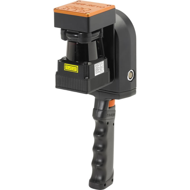
GeoSLAM ZEB-REVO RT


- Model: ZEB-REVO-RT
- Weight: 6.30kg
- Dimensions: 460.00mm x 370.00mm x 180.00mm
Description | File Size |
GeoSLAM ZEB-REVO RT Datasheet (EN) | 552 KB |
GeoSLAM ZEB-REVO RT User Manual (EN) | 3.6 MB |
Description | File Size |
Lincoln Memorial (.LAZ) | 94.8 MB |
Supermarket (.LAZ) | 51.3 MB |
Yordas Cave (.LAS) | 2 GB |
- ZEB-REVO scanner
- ZEB-REVO RT datalogger (inc battery)
- Extra battery
- ZEB Main Cable 1.5m length
- Ethernet cable 1.5m length
- ZEB-CAM
- ZEB-CAM cable (compatible with RT data logger)
- Hard case
- 12V battery charger
- Shoulder strap
- Mini tablet
- Tablet/Phone mount
- GeoSLAM Hub + Draw Start license
- USB stick containing Installation & User Guide
- Software Support & Maintenance (first 12 months)
- Dependent on support tier selected
- 12-month hardware warranty included
The new GeoSLAM ZEB-REVO RT (Real-Time) is the further development of the revolutionary mobile laser scanner ZEB-REVO by GeoSLAM. Real-time data processing saves you valuable time. The subsequent processing is omitted. In the new version, you now have the option to see what you are scanning during the scan process. On a mobile device of your choice, a point cloud is processed directly via a browser interface, which builds up as you scan.
Functionality
The handling of the device requires no great training and previous knowledge and is similar to that of its predecessor. Even for an untrained, the scanner is easy to use. The registration of the point cloud takes place in real-time. The scanner detects 43,200 points per second with a maximum range of 30 meters (indoor).
Applications
- Building documentation
- Scan to BIM
- Property valuation
- Document industrial plants
- Quick scan for building demolition planning
- Tunnel documentation
- Cave documentation
- Documentation of mines
- Ship documentation
- Forestry
- Crime scene documentation
- Accident reconstruction
- Emergency planning
- Awareness training
- Planning of construction projects
Compatible software and export formats
- Export format: Standard 3D point cloud (* .las, * .e57, * .ply)
- Autodesk RECAP
- Autodesk REVIT
- RealWorks
- PointCab
- Pointools
- Rhinoceros
- CloudCompare
- Bentley
- SketchUP
- 3DReshaper
System Features | |
Maximum Range | Outdoor: 15 m | Indoor: 30 m |
Data Acquisition Rate | 43,200 points/sec |
Resolution | 0.625° horizontal | 1.8° vertical |
Angular FOV | 270° x 360° |
Supply Voltage | 14.8V nominal |
Supply Current | Max 10A, nominal 2.5A |
Power Consumption | 30W nominal |
Operating Temperature | +10° to +30°C |
Operating Humidity | Avoid condensing humidity |
Mounting Operation | Removable handle provided, can also be pole or vehicle mounted |
Data Features | |
Data Storage Capacity | 120 GB |
Raw data file size | ~ 10 MB for every 1 minute of scanning |
Processed data file size | ~ 8 MB for every 1 minute of scanning |
Default output file format | .LAS, .PLY, .E57 |
Compatibility | GeoSLAM data is compatible with all major CAD software packages |
Graphical User Interface | Compatible with any web-enabled tablet or mobile phone |
WiFi Range | Upto 15 m from datalogger |
System Accuracy | |
Relative Accuracy | 10 - 30 mm |
Absolute Accuracy | 3 - 30 cm (10 mins scanning, 1 loop) |
Sensor Information | |
Laser Safety Class | Class 1 (Eye Safe) |
Capacity | 50 Wh |
Laser Wavelength | 905 nm |
Scanner Line Speed | 100 Hz |
Scanner Resolution | 0.625° horizontal |
Rotation Speed | 0.5 Hz |
Battery | |
Battery Type | Lithium Ion |
Nominal Voltage | 14.8 V |
Battery Life | 1.5 hours |
Charge Time | 8 – 12 hours |
Chargers Supplied | UK | USA | EU |
Battery Weight | 550 g |
Battery Release | Quick-release mechanism |